Skip to content
Normal Heights Community Planning Group Logo

Normal Heights Community Planning Group

Your Voice to the City

  • Community Garden
  • NeighborhoodExpand
    • Cool Zone Hours
    • Community Map
    • Local Resources
    • HistoryExpand
      • Historic Resources
      • SOHO Endorsment
    • Community Garden
  • Planning & IssuesExpand
    • Community Garden
    • Sidewalks
    • Street Repairs
    • NewsExpand
      • Current Land Use Legislation
    • Subscribe
  • Meetings & DocsExpand
    • Attend a Meeting
    • Meet Now
    • Agendas
    • Minutes
    • Letters
    • Join the Board
    • Board Members
    • Vision Statement
    • NHCPG Bylaws
    • About
    • Contact
Normal Heights Community Planning Group Logo
Normal Heights Community Planning Group
Your Voice to the City

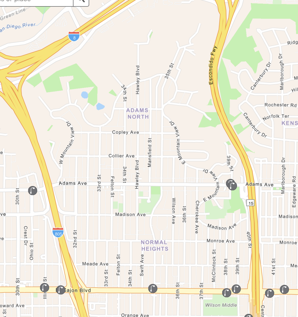
Normal Heights Community is bounded by El Cajon Blvd. on the south, by SR 15 on the east, by SR 805 on the west, and by the Mission slopes on the north.

Other Maps

Automated License Plate Reader Map (click to explore)
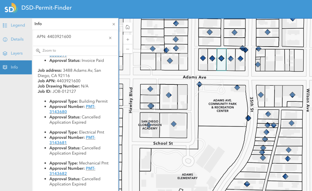
Development Services Department Permit Finder (click to explore)
  • Contact
  • About
  • Privacy Policy

© 2026 Normal Heights Community Planning Group

  • Community Garden
  • Neighborhood
    • Cool Zone Hours
    • Community Map
    • Local Resources
    • History
      • Historic Resources
      • SOHO Endorsment
    • Community Garden
  • Planning & Issues
    • Community Garden
    • Sidewalks
    • Street Repairs
    • News
      • Current Land Use Legislation
    • Subscribe
  • Meetings & Docs
    • Attend a Meeting
    • Meet Now
    • Agendas
    • Minutes
    • Letters
    • Join the Board
    • Board Members
    • Vision Statement
    • NHCPG Bylaws
    • About
    • Contact